
There's a chance the rest of us could also see some snow, but less than 2 inches, if any at all. In other areas, a bigger concern may be snow/sleet/rain mixed in the morning! After that the weekend brings a chance of showers or storms but still with cooler temperatures.
Sunday night into Monday, there is a chance, once again, that some of us could see some small snowfall accumulations (2 inches or less).
What's happened to our Spring! This morning we had a record overnight low of 19 degrees, while last year on this date, we set a record high! (80) The average high temperature this time of year is 61!


RADAR:
SATELLITE:
FORECASTS:
Paducah Union City
Carbondale Cape
Severe WX Outlook
Model Charts Models
PSU Wall Graphical
MEM Graphical
PAH Hazardous
SPC Meso 12-48 HR HRRR Radar
WRF-NMM Radar 15 Day Forecast
GFS NAM MURF
SREF EURO
Forecast Model Animations
PAH Forecast Discussion
WINTER FORECASTS
HPC Winter Weather Forecasts
Wintercast Computer Snowfall Output
Snowstorm Tracks and Probabilities
HPC Day 1 Snow
HPC Day 2 Snow
HPC Day 3 Snow


Day 4-8
Storm Shield Tornado Shelters (Click Here)
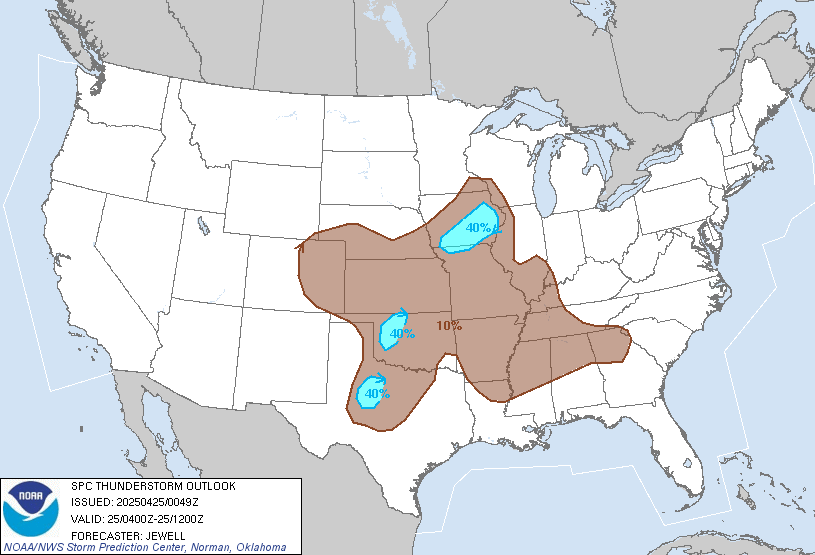
Thunderstorm Outlooks:

Hydrology:
Rainfall Forecasts:


-->

For more!
No comments:
Post a Comment