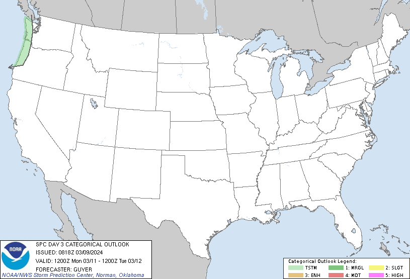
Nice warmer weather expected through Wednesday! Still keeping an eye toward Thursday though, when a cold front, along with an area of low pressure will combine with the jet stream aloft to give us the chance for severe weather.
Right now, it looks like the focus centers on Thursday afternoon and evening, where we could see moisture moving into the area, along with temperatures surging to the upper 60s to near 70.
At that point, ahead of the cold front, we could see a squall line form, capable of producing damaging winds, but also capable of having a few embedded tornadoes! Be especially aware of this situation and time frame!
Stay with us for the latest information and forecast updates! Remember you can hear our forecasts on Newstalk 94.7, 95.5, 570AM and 1320AM, along with The Mix 94.7 and Willie 102.1.

RADAR:
SATELLITE:
FORECASTS:
Paducah Union City
Carbondale Cape
Storm Prediction Center
Model Charts Models
PSU Wall Graphical
MEM Graphical PAH Hazardous
SPC Meso 12-48 HR
Storm Prediction Center
HRRR Radar WRF-NMM Radar
15 Day ECMWF
GFS NAM MURF
SREF EURO
Forecast Model Animations
PAH Forecast Discussion
Winter Weather:
Winter Wx Center
Wintercast
Tropics:
National Hurricane Center
Hydrology:


No comments:
Post a Comment